


Type of trail: cycling
Marking: information boards with numbers from 1 to 13
Length of the route: approx. 33.26 km
Maximum altitude on the trail: 1157 m above sea level
The minimum height on the trail: 389 m above sea level
The difference in elevations: 768 m
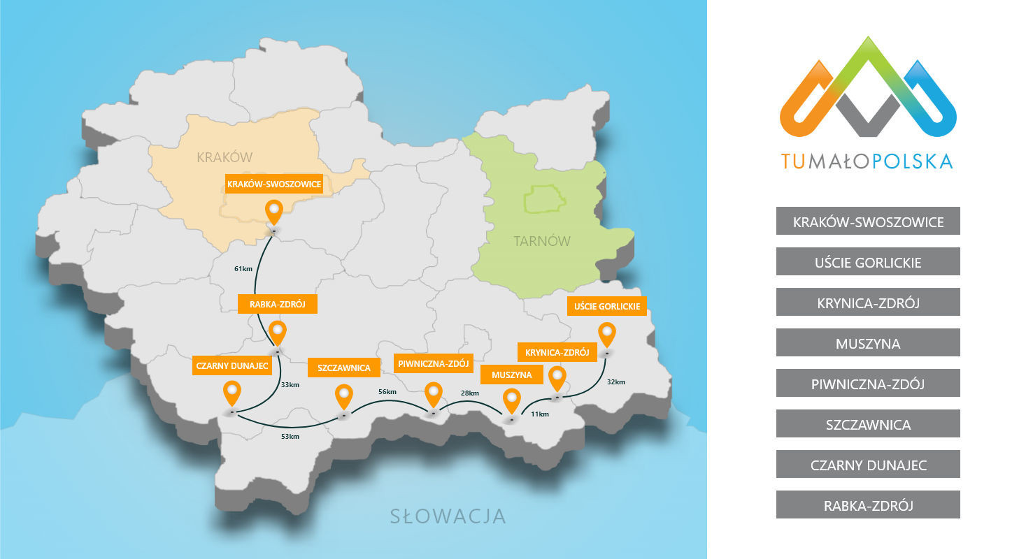
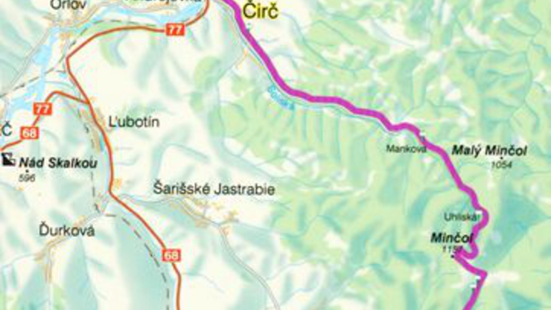
Route details: Lipany-Kamenica- Minčol- Čirč-Leluchów-Muszyna
You can set off from Muszyna to Lipany following the boards in descending order (13, 12, 11 ...). The beginning of the route in Muszyna at Dwór Starostów ul. Kits 17 - table No. 13.
Description of the route:
The Polish-Slovak bicycle trail runs through regions that have been rarely visited so far, which, however, fully deserve the attention of tourists. The route runs along comfortable asphalt roads, forest roads, and steep mountain sections, where you may even have to drive a bike. Designed with the various tastes of tourists in mind: natural and historical attractions are intertwined with contemporary elements of the Polish-Slovak border region. The bicycle trail begins in Slovakia in Lipany. It then runs through the picturesque area of Kamenica, at the foot of the castle ruins, with a viewpoint and a panorama of the Czerchowskie, Lewockie and Sariš Mountains, then along the Kalinowski stream upwards, towards the Minčol mountain (1157m), the highest peak of the Czerchowskie Mountains. The peak itself and a large part of the ridges in its immediate vicinity include the Čergovsky Minčol nature reserve. From the mountains, the cycling route descends through Uhlisko and the valley of the Soliska stream in the direction of Čirč. In Leluchów, the trail crosses the border and ends in Muszyna, one of the most attractive Polish health resorts.
Worth knowing:
When setting off on this route with the intention to travel to Slovakia, you need to equip yourself with helmets and reflective vests, as this is a necessary requirement on the Slovak side.
Używamy plików cookies aby zwiększyć funkcjonalnośc strony oraz zbierać statystyki odwiedzin witryny.
Zaakceptuj i kontynuuj.