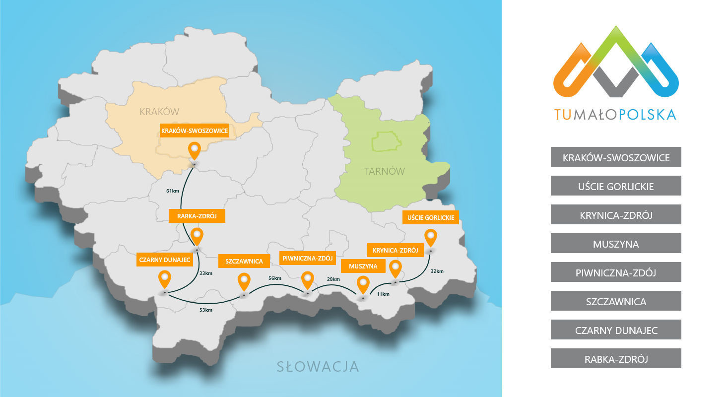

The city of Krakow has created a tourist route in the Swoszowice district called "Sulfur Mining Trail in Swoszowice". This trail passes through the following points:
The individual attractions of the route are marked with ten boards describing the history of Swoszowice in Polish, English and German. These boards were placed in places related to the history of sulfur mining in this area. The entire sulfur trail is about 6 kilometers long, and it was prepared in cooperation with the Promotion Department of the City Hall.
The Kraków Fortress Trail also runs through the area of the Swoszowice district. Objects included in this trail in Swoszowice are:
In accordance with the provisions of the Tourism Development Strategy in Krakow for 2014-2020, appropriate development of tourism and recreation space influences the perception of the city from the point of view of its tourist attractiveness. One cannot forget here about connecting places and areas into linear sequences, a coherent network. This applies to both the internal communication system (including bicycle paths) and, for example, green areas, recreational areas. It should be remembered that people perceive the landscape in a multisensory way, with the domination of visual impressions, hence aesthetics, cleanliness, flowers and interesting design are very desirable from the point of view of the perception and assessment of the hospitality of the city on the part of tourists. Therefore, specific tasks and services have been set, the development of which is desirable throughout the entire Municipality of Krakow, as well as Krakow-Swoszowice.
Task: I.2.1. - Promotion of investment areas, including tourism and tourism-related. The aim of the task is to promote areas for investments related to broadly understood tourism. Here, attention should be paid to accommodation, catering, entertainment, sports or, among others, facilities. cultural. The promotion of the area for investments included in the concept of the program "Nowa Huta Przyszłość: Błonia 2.0" and the development of Przylasek Rusiecki (task I.1.4) will be of great importance, especially from the point of view of tourism and deglomeration of tourist traffic, the construction of geothermal pools will be of importance.
Task: I.2.2. - Development of recreational areas. The aim of the task is to develop and implement a program for the development of a network of recreational areas, developed from the point of view of various forms of active recreation (including cleaning, street furniture, public toilets), taking into account the needs of the disabled. Green areas play a fundamental role from the point of view of self-cleaning of environmental natural systems, it is also important here to internally connect the systems of recreational areas. The task covers the revitalization and recreational development of the post-industrial area of the former Solvay plants, the so-called white seas, including the southernmost settler, not yet developed.
Task: I.2.3. - Development of a system of bicycle routes. The aim of the task is to further expand and connect into a coherent network of bicycle routes. A good system of bicycle paths improves the accessibility of areas located further away from the city center, including tourist attractions, green and recreational areas, and has a positive effect on the comfort of cycling participants and residents of neighboring municipalities, treating bicycle paths as an alternative way of free and safe movement along routes running from the administrative borders of the city. As part of the task, it is also planned to improve the accessibility of the city's bicycle rental system to tourist traffic, especially in the context of payment methods for the service.
Task: I.2.4. - Development of the Vistula river embankment and tributaries. The aim of the task is to undertake further works related to the revitalization and development of river boulevards. The task assumes making the Vistula quays more attractive and lively, taking into account keeping them clean and flowering. An important aspect that requires further work is the development of river parks for recreational purposes, including bicycle paths, small sports and recreational architecture, pedestrian routes, etc., of the Vistula River tributaries.
Task: I.2.5. - Development of the surroundings of the Sanctuary of Divine Mercy in Krakow-Łagiewniki. The aim of the task is to further develop and expand the communication system in the vicinity of the Sanctuary of Divine Mercy. The implementation of the task will strengthen, among others tourist functions related to religious tourism and the role of this place in deglomerating tourist traffic from the city center. This is all the more important as in 2016 Krakow will host young people who came to meet the Holy Father during the World Youth Day.
Task: I.2.6. - Further work on integrated tourist signage in the city. The aim of the task is to carry out further works related to the improvement of the tourist marking system related to pedestrian, bicycle and road traffic. It is about combining various initiatives into a coherent, integrated system, which will contribute to the efficient service of tourist traffic, including for the disabled. During the period covered by this strategy, greater attention should be paid to information at major junctions, especially for road traffic. The task also includes modernization of the existing boards. It should be remembered that signage is a showcase of the city and creates a sense of hospitality. One should not forget about the aestheticization of the signage and its integration into the existing architecture and landscape. Marking is an extremely important tool for the deglomeration of tourist traffic. This task is closely related to tasks concerning, inter alia, implementation of applications, geolocators, photocodes.
Task: I.2.7. - Expanding the network of walking paths. The aim of the task is to develop pedestrian routes and zones, enabling the movement of tourists (linear deglomeration of tourist traffic). In addition, separate areas for pedestrian traffic allow for better exploration of the surrounding space, as well as improve the safety of movement in places attractive for tourists.
Task: I.2.8. - Development of the area of the former KL Płaszów and Krzemionek camps. The aim of the task is to develop the area of the former Nazi concentration camp KL Płaszów for museum and educational functions. The quest is related to other World War II martyrdom sites located in the city and in the country. It is also planned to adapt this area as a walking area. Such a basic function is to be performed by the nearby Krzemionki Podgórskie. As part of the task, their rehabilitation and development for recreational purposes is planned.
Task: I.2.9. - Development and access to the fortress complex of the Krakow Fortress. The aim of the task is to more effectively use the complex of forts for tourist purposes, extending over a large part on the outskirts of the city. Their adaptation to tourist functions, especially in terms of active and cultural tourism, additionally gives the possibility of degromerating tourist traffic from the center of Krakow. As part of the task, it is planned to continue work on the adaptation and development of the surroundings of other facilities of the Krakow fortress.
Task: I.2.10. - Creating a network of cultural parks. The aim of the task is to continue the implementation of the city's landscape and cultural heritage protection program, which will increase its value in the eyes of tourists. As part of it, it is planned to include other areas in the network of cultural parks. These activities should be carried out and agreed simultaneously with the works on local spatial development plans.
Używamy plików cookies aby zwiększyć funkcjonalnośc strony oraz zbierać statystyki odwiedzin witryny.
Zaakceptuj i kontynuuj.